

The Riyadh Metro is a six-line network serving airport and city destinations across Riyadh, Saudi Arabia. Its color-coded routes and interchange stations can help you plan sightseeing trips to places such as the National Museum and Qasr Al Hokm.
- Six lines, each identified by a number and color.
- Line 4 (Yellow) serves King Khalid International Airport.
- Line 1 (Blue) serves the National Museum, with an interchange to Line 5 (Green).
- Station facilities include ticket vending machines, lifts and Arabic and English signage.
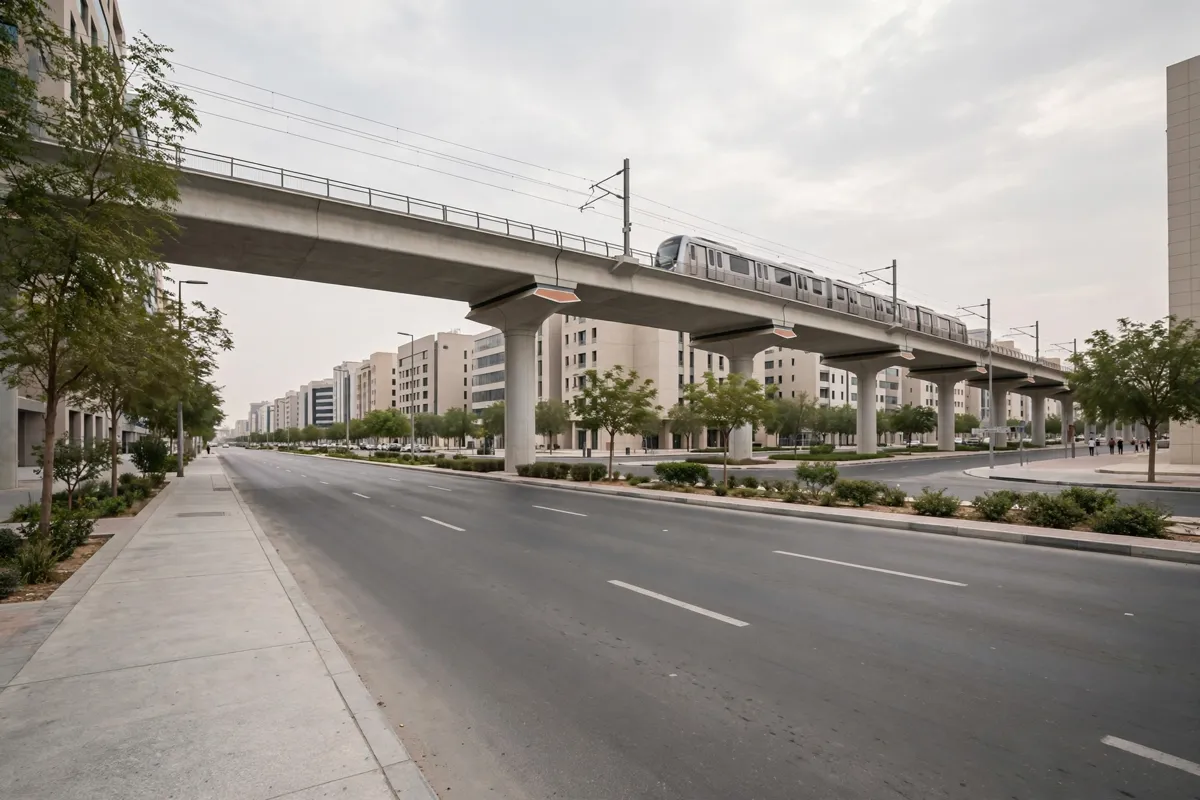
How the Riyadh Metro network works
The Riyadh Metro map shows six numbered, color-coded lines alongside other public transport connections. Line 1 is Blue, Line 2 Red, Line 3 Orange, Line 4 Yellow, Line 5 Green and Line 6 Purple.
The official map is schematic rather than a street-by-street guide. It marks metro stations and interchanges, as well as bus rapid transit lines, community bus routes, a monorail, car parks, the airport, high-speed rail and a public transportation center. Use it to identify your destination station and any line changes before setting out.
Line 1 runs between SAB Bank and Ad Dar Al Baida, Line 2 between King Saud University and King Fahad Sport City, and Line 4 between Airport T1-2 and KAFD.
Interchanges make it possible to transfer between some routes: Qasr Al Hokm is shared by Lines 1 and 3, while the National Museum is an interchange between Lines 1 and 5.
The map marks interchange stations with a dedicated symbol. For route planning, check the map for that symbol and follow the line colors rather than relying on station names alone.
Which Riyadh Metro stations serve airport arrivals?
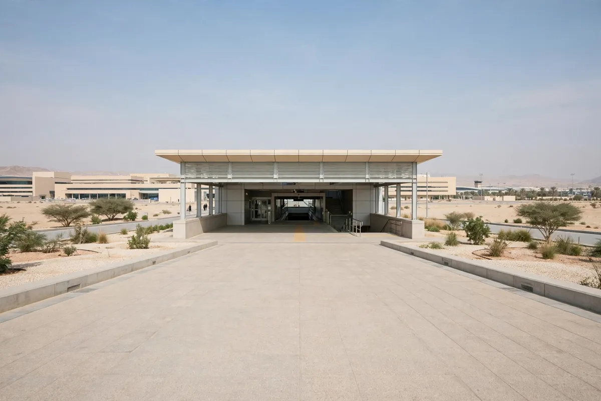
King Khalid International Airport is served by Line 4 (Yellow), whose termini are Airport T1-2 and KAFD. The official map also marks airport locations, so you can orient yourself before choosing a route into the city.
From Al Mutlaq, King Khalid International Airport is about 33 minutes by car. That is a hotel-to-airport driving time, not a Metro journey time.
For a Metro trip, use the official map to trace the route from Airport T1-2 and check which interchange, if any, your destination requires. The Riyadh Metro map includes all six lines and their stations.
If your trip continues by air, the airport-to-hotel transfer guide covers the road journey.
Which stops work for central Riyadh sights?
Line 1 (Blue) serves King Fahad Library, Ministry of Interior and the National Museum, giving you several useful stops for central Riyadh sightseeing. Ministry of Interior station lies between King Fahad Library and Al Muorabba.
The National Museum is an interchange with Line 5 (Green), while Qasr Al Hokm connects Lines 1 and 3. Check the map for the interchange symbol if your journey involves changing lines.
The National Museum of Saudi Arabia is about 85 minutes on foot or 18 minutes by car from Al Mutlaq. For museum context and visit planning, the National Museum of Saudi Arabia guide is a useful companion.
Other city destinations in the hotel’s route information include King Salman Park, King Abdullah Park, Murraba Palace, Riyadh College of Technology, Prince Faisal bin Fahd Sports City Stadium and Sakr al Jazeera Aviation Museum. Those location times describe travel from the hotel, not Metro ride times, so use the network map to plan transit legs.
How do you plan a journey from the hotel area?
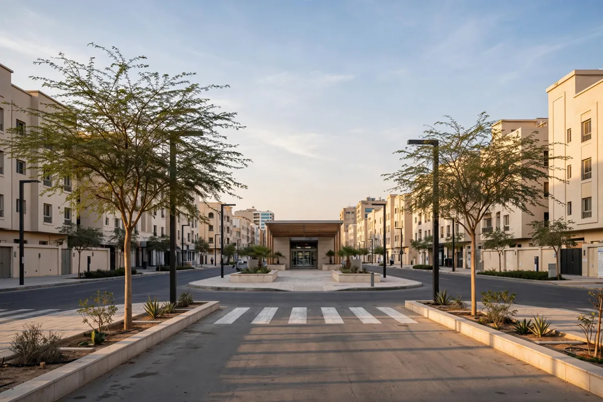
Start by locating your destination on the Riyadh Metro map, then identify the line and any interchange you need. From the hotel area, the stations are Officers Club, about 2 minutes on foot from Al Mutlaq, and Abu Dhabi Square, about 11 minutes on foot.
The route information also gives driving times of about 2 minutes to Officers Club and 2 minutes to Abu Dhabi Square.
GOSI is another station in the hotel’s route information, about 19 minutes on foot or 8 minutes by car from Al Mutlaq. Confirm the station name and route on the official map before you travel, then follow the line colors and interchange markers for the rest of the journey.
For a broader sightseeing sequence, the one-day Riyadh itinerary brings several city stops together.
What should you know about tickets, service times and accessibility?
Metro stations have ticket vending machines, lifts, tactile guide paths, Arabic and English signage, platform screen doors and women-only areas in Regular class. Gates accept darb cards and QR-code tickets from the app; you can also buy or top up a darb card at a ticket vending machine.
Service hours are 05:30–00:00 Saturday through Thursday and 10:00–00:00 Friday. Typical train intervals are 3–5 minutes at peak times and 5–10 minutes off-peak. Service details can change, so check the official site before you go.
Darb bus routes connect with the Metro, and a separate bus ticket is not needed while the Metro-bus ticket remains valid. Check the conditions for your ticket before combining bus and Metro travel.
Times checked November 2026.
FAQs
How many lines does the Riyadh Metro have?
The network has six numbered, color-coded lines: Blue, Red, Orange, Yellow, Green and Purple.
Does the Riyadh Metro serve King Khalid International Airport?
Yes. Line 4 (Yellow) serves the airport, with Airport T1-2 and KAFD as its termini.
Can you change lines at the National Museum?
Yes. The National Museum station is an interchange between Line 1 (Blue) and Line 5 (Green).
Can you use a QR-code ticket at Metro gates?
Yes. Gates accept QR-code tickets from the app as well as darb cards.